MX VNIR
6 channels, 42 m
Land, vegetation, coasts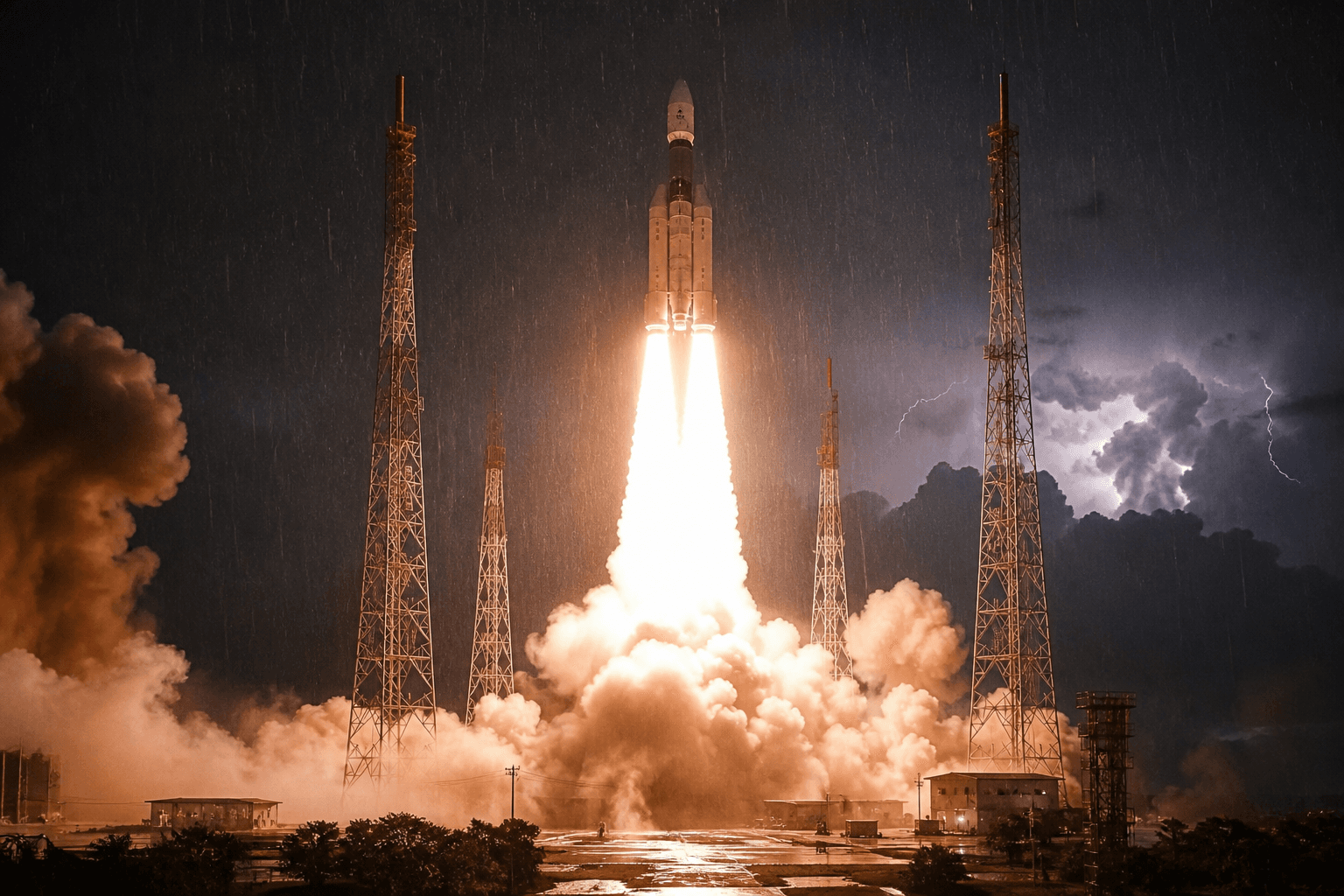
ISRO’s GSLV-F17 lifted through rain at Sriharikota at 02:55 IST and placed EOS-05, India’s first dedicated imaging satellite for geosynchronous orbit, into a better than book orbit.
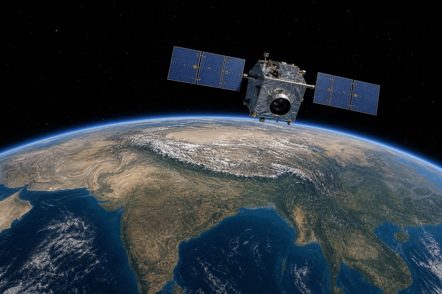
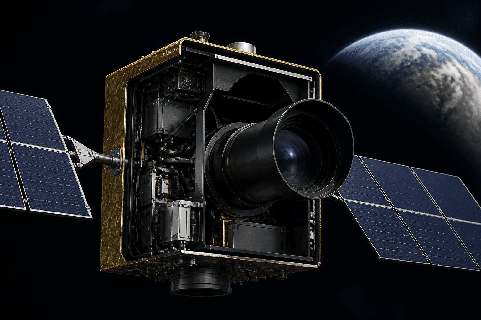
Four stills from the mission story. Night liftoff, the vehicle on the pad, EOS-05 over India, and the spacecraft itself.
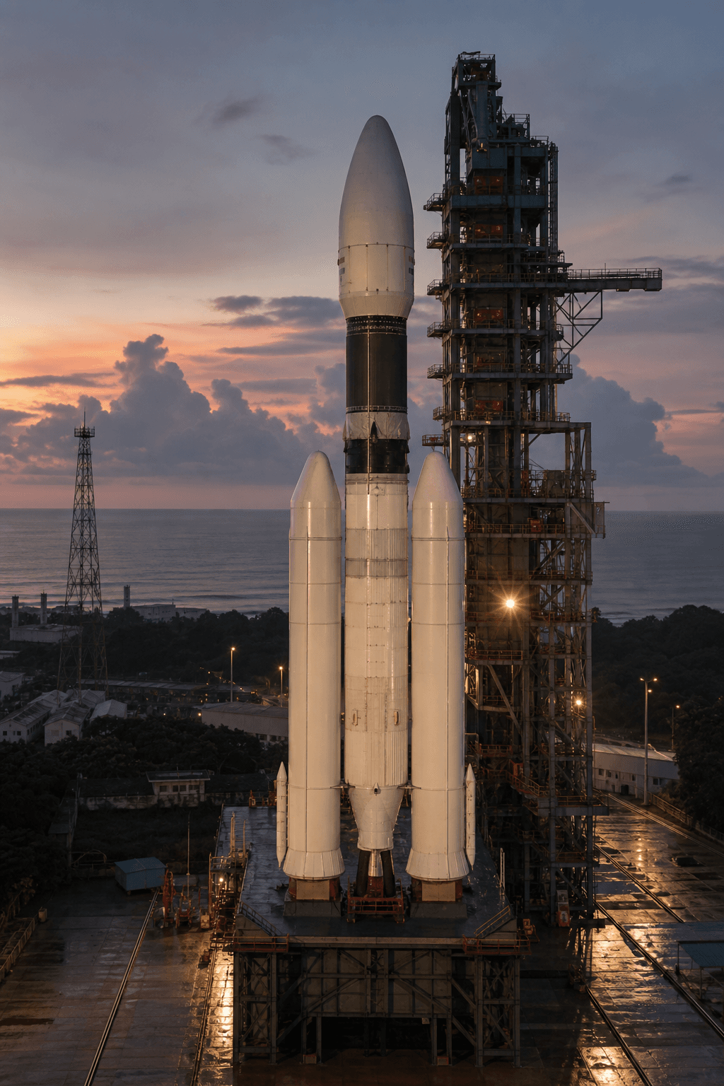
After a 27.5 hour countdown, the three stage rocket left the Second Launch Pad about 135 km east of Chennai despite heavy rain. Mission Director Thomas Kurian cleared the automated sequence once telemetry and control were healthy. Chairman V Narayanan called it a perfect launch. The cryogenic upper stage delivered roughly 1,000 km more apogee than the planned 29,934 km, leaving extra fuel on EOS-05 for the climb to the geo platform.
Friday’s flight was ISRO’s first successful orbital launch of 2026. The year’s earlier attempt, PSLV-C62 with EOS-N1 on 12 January, failed near the end of third stage flight. GSLV-F17 closed an eight month gap and put the agency back on a demanding calendar that still includes NVS-03 and the first uncrewed Gaganyaan test.
The Geosynchronous Satellite Launch Vehicle was built to loft about two tonne class satellites toward geostationary transfer orbits. It is heavier than PSLV, with a cryogenic upper stage that India had to invent after 1990s technology control limits blocked a full cryogenic transfer from Russia. Early flights were unforgiving. From the first development launch in April 2001 through 2014, only two of seven missions fully succeeded. Inside ISRO the rocket picked up a nickname: Naughty Boy.
After GSAT-14 reached orbit in 2014, then project director K. Sivan said the naughty boy had become obedient. The remaining weak point was still the indigenous cryogenic upper stage. On 12 August 2021, GSLV-F10 carried GISAT-1 (EOS-03). The first two stages flew cleanly. The cryogenic stage did not ignite. India lost its first geo imaging satellite.
“We used to call GSLV the naughty boy of ISRO. The naughty boy has become obedient.”
K. Sivan after GSAT-14, 2014
F17 is the 19th GSLV flight and the first GSLV mission since F16 lofted the NASA ISRO NISAR radar satellite into sun synchronous orbit on 30 July 2025. The CUS15 stage is white, better insulated and lighter, flying the CE-7.5 engine on liquid hydrogen and liquid oxygen. That is the machine that had to work this morning. It did, and then some.
Rotate the stack. The cutaway lines up with the model: strap on first stage, liquid second stage, cryogenic CUS15, then the ogive fairing that hid EOS-05 until the atmosphere thinned.
DRAG TO ORBIT · GSLV MK II F17
The S139 core and four L40H strap ons ignite from the Second Launch Pad.
The liquid boosters finish their work. The solid core keeps climbing.
The GL40HT liquid stage takes over with UH25 and N2O4 storable propellants.
The indigenous CE-7.5 burns LOX and LH2. This is the stage that once made GSLV infamous. Today it is precise.
The 2,367 kg satellite is injected into sub GTO: 171 by 31,026 km at 19.28 degrees.
EOS-05, also reported as GISAT-1A, is the second spacecraft in ISRO’s Geo Imaging Satellite series and the replacement for the lost GISAT-1 / EOS-03. It is built around a modified I-2K bus with a 700 mm Ritchey Chrétien telescope derived from Cartosat-2A thinking: a jitter quiet platform, electronically steerable phased array downlink, and array detectors in visible, near infrared and short wave infrared.
Most of India’s 21 operational Earth observation satellites (as of February 2026) live in low Earth orbit or sun synchronous polar orbits. Geostationary Earth observation until now meant weather birds such as INSAT-3D, 3DR and 3DS. EOS-05 is the first Indian satellite designed to take dedicated multi spectral and hyperspectral images from a geosynchronous vantage, about 36,000 km up. Union minister Jitendra Singh noted imaging across visible, infrared, multi spectral and hyperspectral bands.
Injection was into a sub geosynchronous transfer orbit, not the final workplace. A sub GTO trades a lower apogee than classical GTO so the launcher can lift more mass. The satellite then spends days raising itself with onboard propulsion. Narayanan said teams will raise the orbit and take it to the required orbit and place the satellite in the geo platform. Extra apogee at injection means less of that propellant is burned just to catch up. More life, more pointing, more pictures.
ORANGE ELLIPSE IS THE SUB GTO PATH. GREEN RING IS THE TARGET GEOSYNCHRONOUS ORBIT. NOT TO SCALE.
ANIMATED TRANSFER FROM PERIGEE 171 KM TO APOGEE 31,026 KM, THEN BURNS TOWARD ABOUT 36,000 KM
A Cartosat in low orbit can resolve streets. It cannot watch a cyclone for six hours. EOS-05 makes the opposite bargain: coarser metres per pixel, almost no waiting for the next pass.
LEFT IS LEO REVISIT GEOMETRY. RIGHT IS THE GEO FOOTPRINT OVER THE SUBCONTINENT.
COVERAGE CONE. CONTINUOUS MONITORING OF INDIA AND NEARBY REGIONS.
From geosynchronous altitude a spacecraft can remain over the same longitude, looking down on India, the Himalaya, the Indian Ocean approaches and neighbouring regions in one long take. GISAT literature describes a selected field image every five minutes and a full landmass product every half hour at 42 m in MX VNIR, always with the caveat of cloud free lines of sight.
Published GISAT class band sets, heritage of GISAT-1, carried forward on the 1A replacement. Exact on orbit calibration for EOS-05 will be refined during commissioning.
6 channels, 42 m
Land, vegetation, coasts158 channels, 318 m
Crops, minerals, water quality256 channels, 191 m
Moisture, fire, cloudsCyclones over the Bay of Bengal and Arabian Sea, flash floods, forest fires and smoke plumes change faster than a low orbit satellite can revisit. EOS-05 can stare at the same basin and refresh the picture as the event unfolds.
Cloud evolution, drought, snow cover, glaciers and inland water bodies can be tracked over days rather than snapped once per pass. That complements INSAT meteorological spacecraft.
Multi spectral and hyperspectral VNIR channels pick up vegetation stress, crop type and soil moisture proxies across the Indian landmass. A full country mosaic is designed for about every 30 minutes.
Persistent imaging of nearby oceans supports oil spill detection, coastal erosion, fishing zone context and unusual maritime activity. The same geometry that helps civilian agencies also feeds situational awareness.
Chairman V Narayanan said the spacecraft will scan India for the safety and security of citizens and is not a spy satellite. The same wide area persistence still yields strategic data along western and northern sectors.
GISAT class design goals include a selected field every five minutes, and the full Indian landmass about every 30 minutes at 42 m in the multi spectral VNIR band, under cloud free conditions.
Original geo imaging launch halted shortly before countdown. The capability India wanted would wait.
A further slip, then GSLV-F10. Cryogenic upper stage anomaly. EOS-03 never reached orbit.
The same vehicle family places a 743 km sun synchronous radar satellite for NASA and ISRO. Confidence restored, different orbit class.
Third stage anomaly. Other vehicles wait on review. Eight quiet months.
Heaviest GSLV payload, first geo imaging satellite, first success of the year. Prime Minister Narendra Modi called it a reflection of growing Indian space capability.
Three stories landed at once. First, India finally owns the geo imaging gap it tried to close in 2020 and 2021: continuous Earth observation from 36,000 km, not another low orbit snapshot. Second, GSLV Mk II has now lofted its heaviest satellite and flown a cryogenic stage that beat the book. That is a reliability signal for every future GSAT, navigation spare and science payload that still needs this rocket. Third, ISRO is flying again after a failed year opener, with Gaganyaan’s first uncrewed mission still on the 2026 board.
EOS-05 is not yet on station. Commissioning, orbit raising and geo platform capture still have to succeed. When they do, India will have a staring eye that weather satellites cannot match in spectral richness and that low orbit imagers cannot match in persistence. That is the leap. Not a bigger bang on the pad, but a new way of seeing the country in near real time.
“The satellite will continuously scan India for safety, security of citizens, it’s not a spy satellite.”
V Narayanan, Chairman, ISRO, 4 September 2026
The open graph card is generated for 0gravity.space so the link previews cleanly on X, WhatsApp, Slack and LinkedIn.
Figures and quotes in this guide are drawn from ISRO mission commentary on 4 September 2026 (V Narayanan, Thomas Kurian), Hindustan Times, The Times of India, ThePrint, DT Next, LiveMint, New Indian Express, and public GISAT / GSLV Mk II technical summaries. Orbits and 3D views are illustrative, not to scale. Payload mass 2,367 kg is the figure given by the chairman after injection. Some early headlines rounded to 2,376 kg. Stills are original illustrations made for this page.